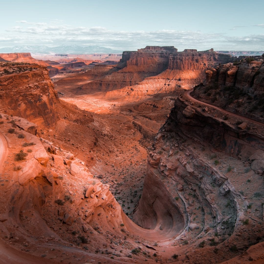
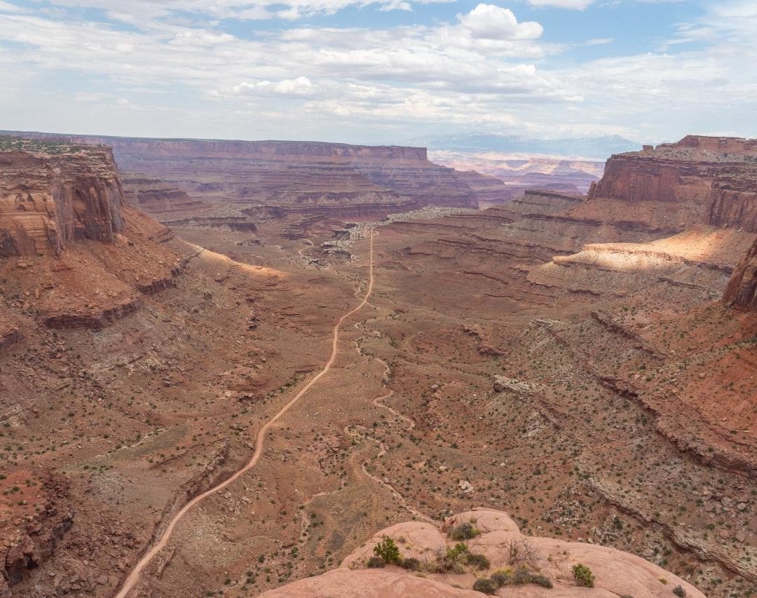
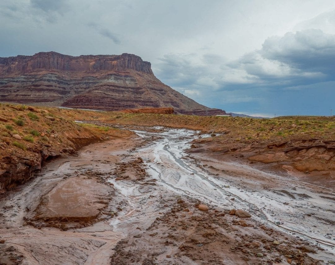
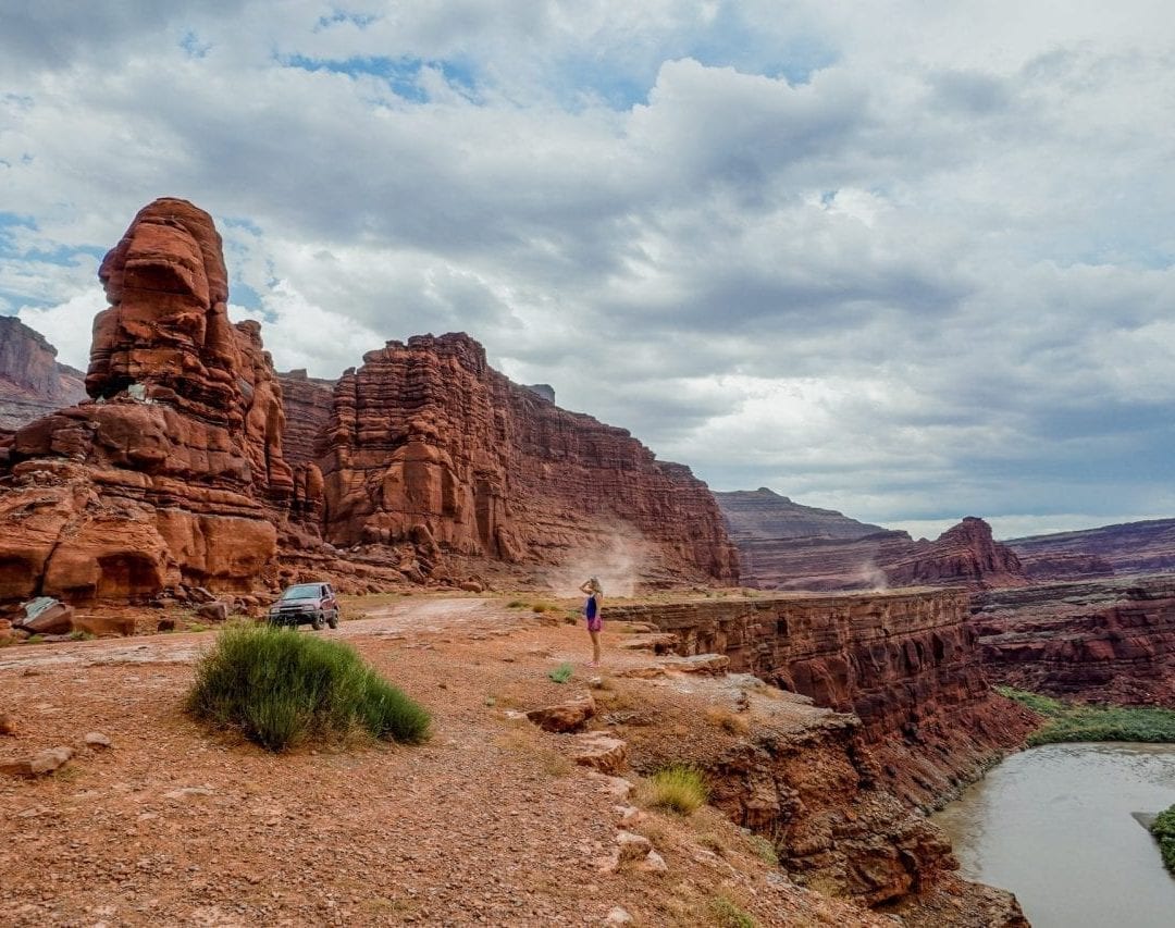
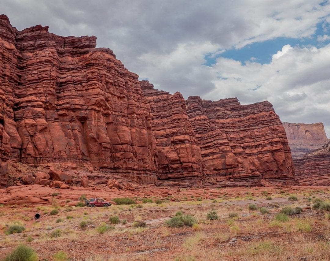
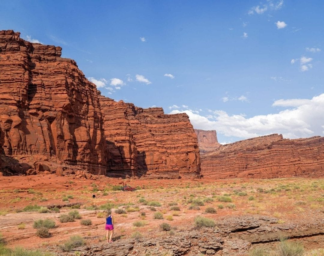
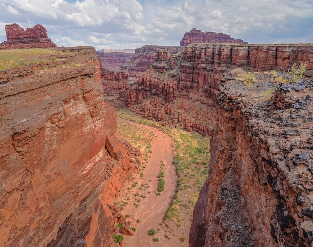
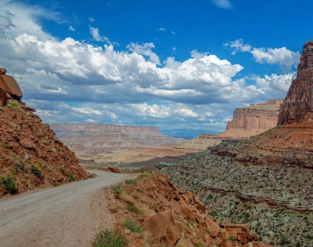
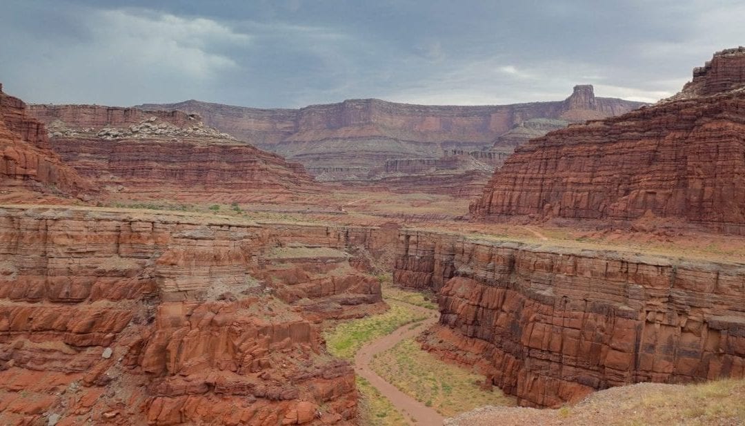
Have you ever driven down to the bottom of a canyon? Shafer Trail in Canyonlands lets you do exactly that! It is a relatively short dirt road drive that descends down the canyon and is a steep drop into the canyon on a road that is at times so narrow that only one car can pass at a time.
The question is if you need a 4WD or will 2WD work? Well, it is strongly recommended to do it in a 4WD, which is definitely a must if you go all the way to Moab (the road gets really rough there). But the first 5 miles going downhill could probably done in a 2WD at your own risk. Either way, 5 miles or 40 miles, this drive is not to be missed!
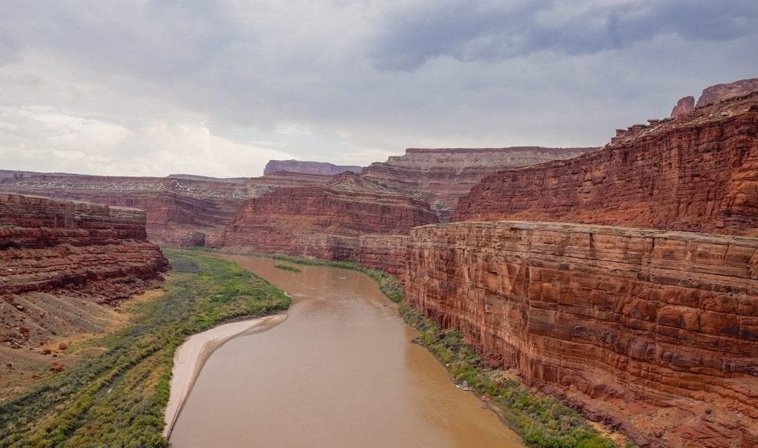
This is a drive worth doing to get to the bottom of the canyon in a truly unique experience! At about 5 miles, the trail forks into Potash Road, which is also a rough dirt road goes all the way to Moab, about 30 miles and White Rim Trail, which allows you to drive around the rim and requires a permit to drive on. The timelapse video was shot on Shafer Trail and Potash Road all the way up to Moab. It is running at 30x normal speed, so the entire 3 hour drive plays under 4 minutes. We highly recommend doing this trail to have a true Canyonlands experience.
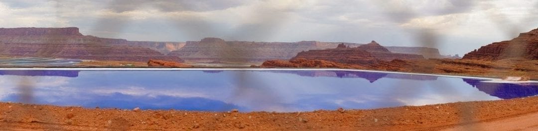
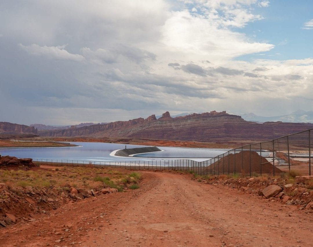
Potassium Mines on Potash Road
Potash Road is called so because there is a Potasium mining field on this road about 10 miles from Moab. In the video, you will see crystal blue ponds that get their color from the potassium mined from under the soil. In order to mine potassium, water dissolved with certain chemicals is pumped deep into the ground, where it dissolves potassium deposits and rises up to the pools, where it is left to evaporate in the sun. After about 300 days, the water completely evaporates, leaving potassium deposits in the surface. During those 300 days, the color of the water changes from crystal blue to purple as the concentration of potassium increases due to evaporation of water!
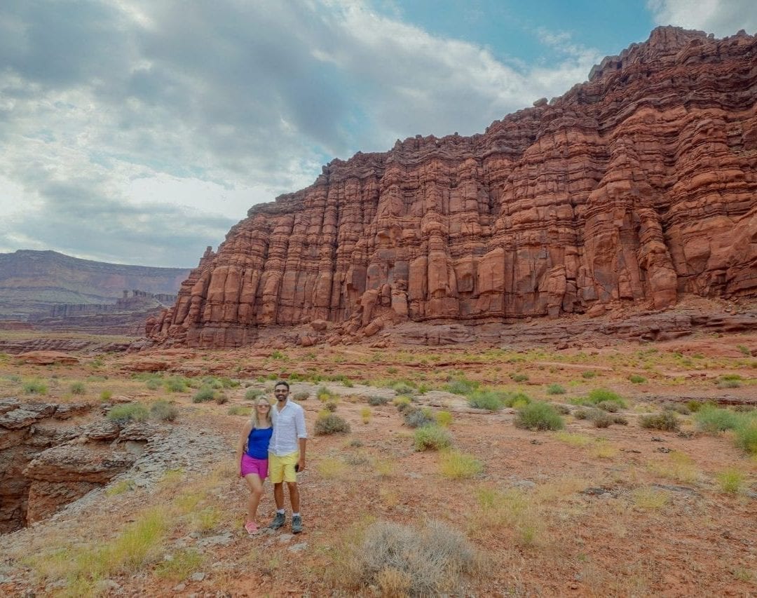
Shafer Trail in Pictures
If you have done the Shafer Trail drive, let us know in comments what was your experience like. We would love to hear from you! If you haven’t been to Canyonlands but are planning to, check out our other posts on Canyonlands.